
Thermal Drone Deer Recovery
California deer hunting recovery refers to the process of locating and retrieving deer that have been shot but not immediately found. This can be done using various methods, including thermal drones. Thermal drones are particularly effective as they can locate deer from a height of about 400 feet without disturbing the wildlife, using thermal imaging to detect the heat signature of the animal. These drones can search large areas quickly, covering up to 400 acres per hour, and can switch to a zoom camera to identify the deer and confirm if it is the one being searched for. The use of thermal drones for deer recovery is legal in California, and hunters can work with certified pilots to locate their deer. This method is considered environmentally friendly as it is less disruptive than traditional methods and reduces the risk of pushing deer off the property.
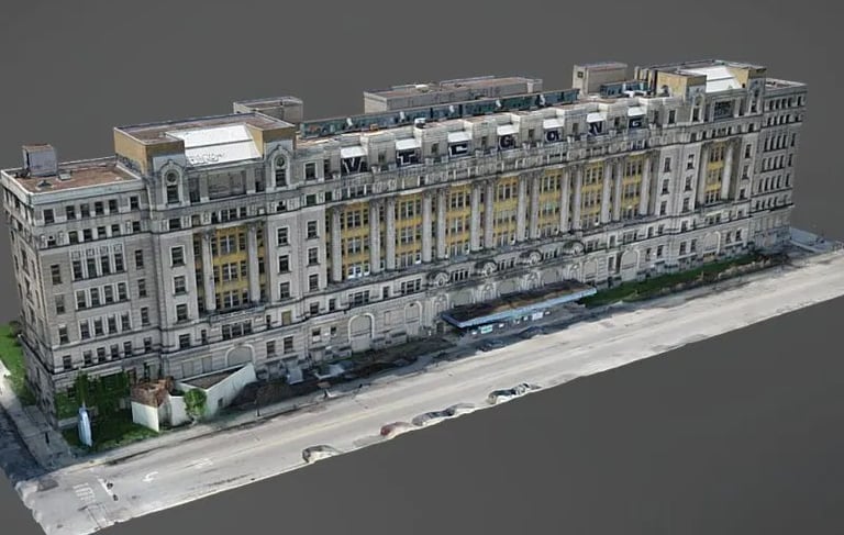
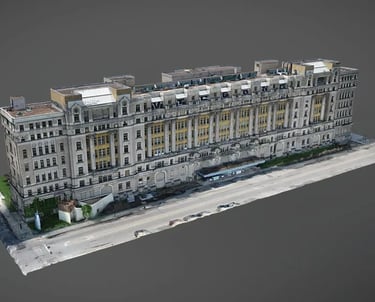
Facade Inspections
Using drones for building façade inspections offers a safe, efficient, and highly detailed method for assessing structural integrity. Drones eliminate the need for scaffolding, lifts, or rope access, reducing costs and minimizing disruption to building occupants. With high-resolution cameras and zoom capabilities, drones capture close-up visuals of cracks, corrosion, moisture intrusion, and other defects—providing fast, accurate data for maintenance, compliance, and restoration planning. In conjunction with photogrammetry software a 3D model can be created for a more lively and immersive experience.
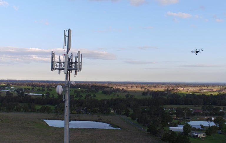
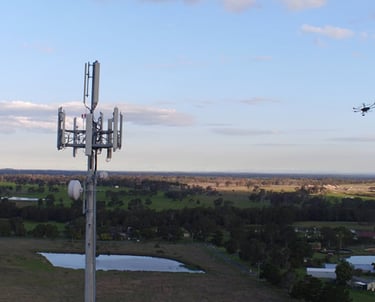
Communication Tower Inspections
Using drones for cellular tower inspections greatly enhances safety by eliminating the need for technicians to climb towers, while significantly reducing inspection time and costs. Drones capture high-resolution images and thermal data from hard-to-reach angles, enabling precise, efficient, and non-intrusive assessments. This technology supports faster maintenance decisions, better documentation, and improved network reliability.
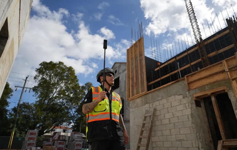
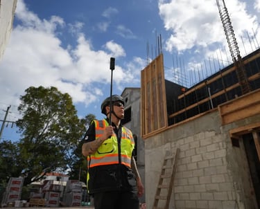
Aerial and Land Construction Monitoring
Using drones for construction progress monitoring provides real-time, high-resolution aerial views that enhance project visibility and coordination. Drones capture consistent, repeatable data across the entire site, allowing teams to track milestones, verify contractor performance, and detect delays or discrepancies early. This improves communication among stakeholders, supports accurate reporting, and helps keep projects on schedule and within budget. Walk throughs and 360 immersive tours available as well.
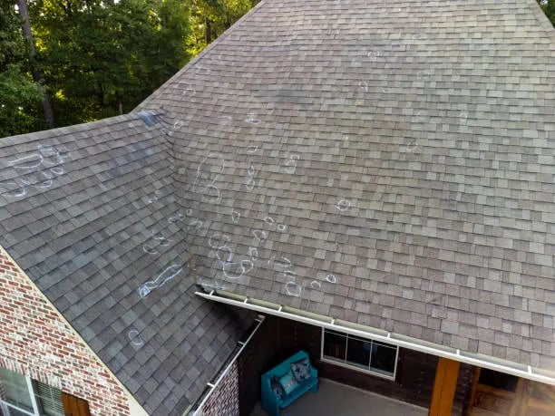
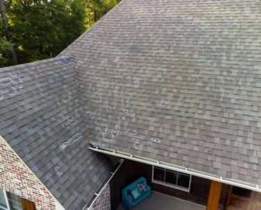
Residential Insurance Claims for Roof and Disaster Recovery
Obtain aerial data to give to your insurance provider. Using drones for residential roof inspections provides a safer, faster, and more cost-effective alternative to manual methods. They eliminate the need for ladders or walking on roofs, reducing risk of injury and property damage. Drones capture high-resolution images and video from every angle, allowing for detailed analysis of shingles, flashing, gutters, and storm damage—without ever stepping foot on the roof.
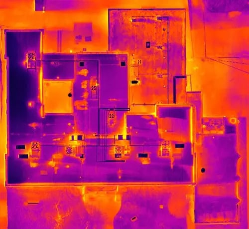
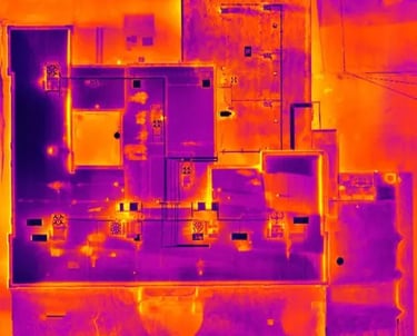
Thermal Radiometric Imaging
Using a drone for thermal imaging allows for fast, safe, and non-invasive detection of heat-related issues such as electrical faults, insulation gaps, and equipment failures. It provides precise temperature data across large or hard-to-reach areas without the need for ladders or shutdowns. This technology improves inspection efficiency, reduces costs, and supports smarter, preventive maintenance decisions.
Contact me for a consultation and a custom solution tailored to your needs.
Or Leave your details, I'll give you a call:
frank@frankcaballero.com
© 2025. Drone Operator. All rights reserved.