
The Power of Drone Technology in Geospatial Applications
Unlock the full potential of your projects with precision drone data for mapping and construction progress monitoring. Leveraging advanced drone solutions from the DJI Enterprise Matrice line, that deliver unmatched accuracy, efficiency, and insight across every stage of development.
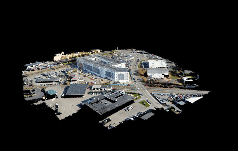
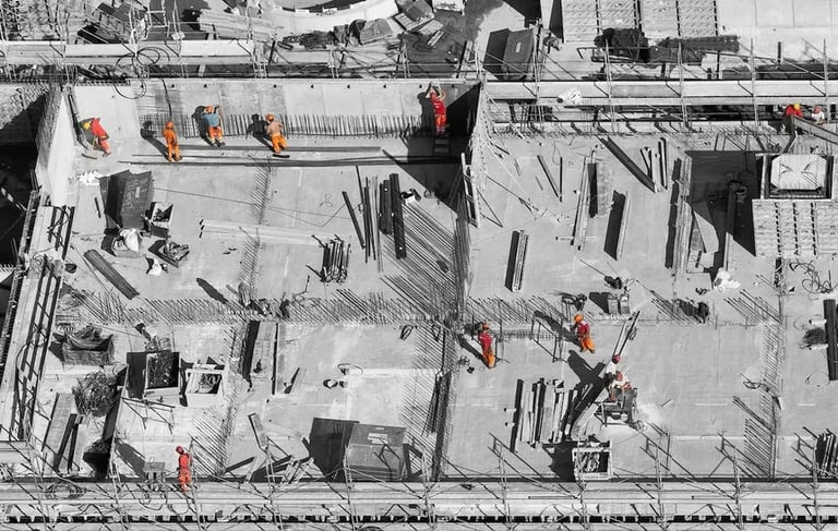
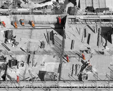
Real-Time Progress Monitoring
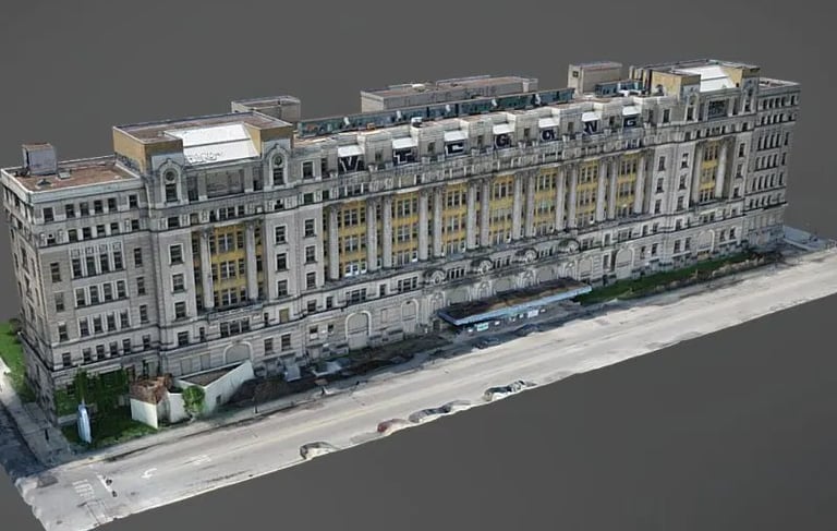
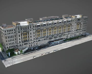
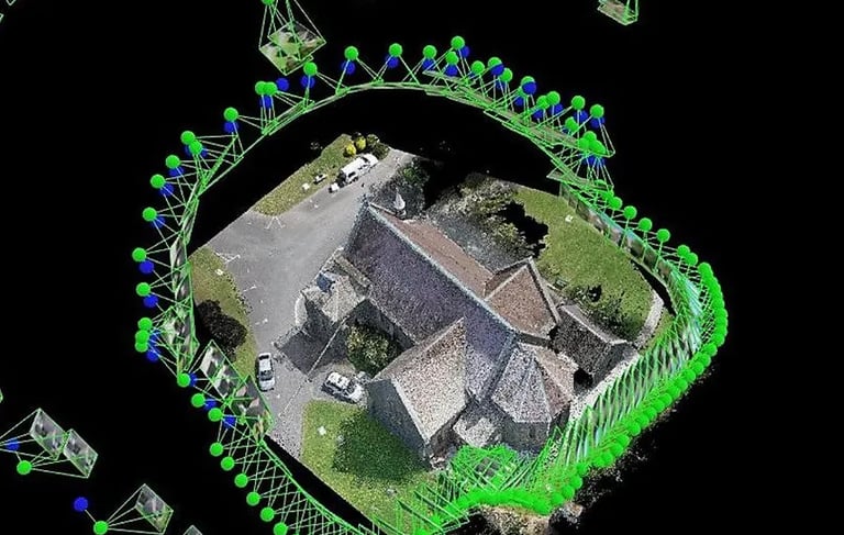
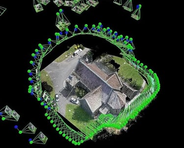
Track construction progress with High-Resolution Aerial Imagery, 3D models Traditional Hyperlapse and Point Cloud Hyperlapse. Validate milestones, detect delays early, and keep stakeholders aligned with accurate, up-to-date visuals. I use the leaders in drones, DJI Enterprise Drones equipped with RTK centimeter accurate positioning technology.
KEEP YOUR PROJECT ON TARGET
Weekly drone missions over your constructions site provide clear, accurate visuals to ensure your construction project stays on schedule and on track.
-AUDITS MATERIAL DELIVERIES AND VOLUME MEASUREMENTS
-AUDITS LOGISTICS FLOW
-ALLOWS PERMANENT RECORD OF INSTALLATION
-SAVE $$ ON ADDED LABOR COSTS AND GOVERNMENT FINES
Faster Turnaround, Smarter Workflows
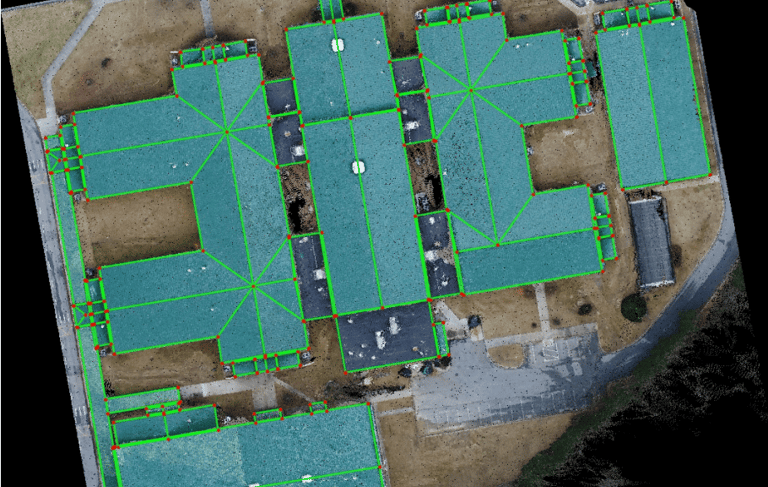
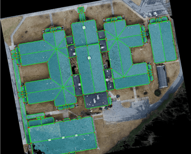
Utilizing advanced drone technology for geospatial applications such as mapping and construction for precise progress monitoring and reporting.
Schedule a consultation, I will provide the right solution to meet your project needs.
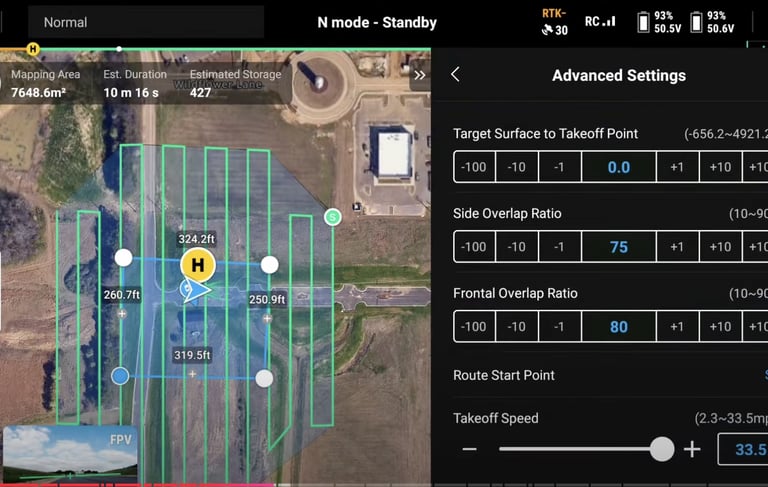
High-Precision Data Collection
I use cutting-edge DJI Enterprise Matrice 4E and 4T product line of drones equipped with high-resolution cameras and RTK/PPK GPS to capture centimeter-accurate geospatial high resolution images and thermal radiometric data. Leveraging the power of more accurate 3D models or Point Cloud Hyperlapses, I can provide the mapping detail you need for confident planning and execution.
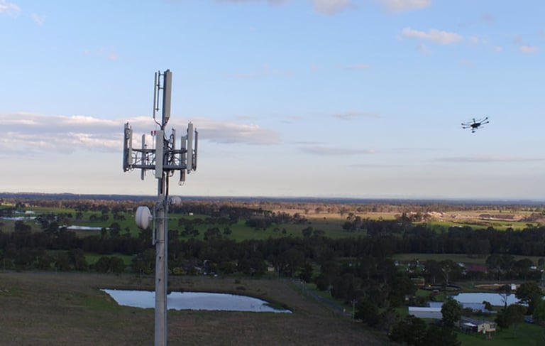
Facade Inspections
I provide a safer, faster, and more cost-effective solution compared to traditional methods of facade inspections . Eliminating the need for scaffolding, lifts, or rope access, significantly reducing labor and safety risks. Capturing high-resolution imagery and video from all angles, making it easy to detect cracks, water damage, deterioration, or other structural issues with precision—without disturbing building occupants or daily operations. This approach ensures thorough documentation, supports compliance, and speeds up maintenance planning. I also offer Advanced Radiometric Thermal imagery for various applications.
Cost-Effective Solutions
Reduce manpower, minimize equipment use, and eliminate the need for repeat site visits. My drone and walkthrough services help you save time and money while improving data quality.
Avoid added labor costs and government or regulatory fines which can range anywhere from $10K-$1M+ per day, depending on municipalities, for construction delays.
Clearer Communication & Reporting
Bring your reports to life with stunning visuals and interactive maps. Our deliverables make it easier to communicate with clients, contractors, and inspectors—enhancing trust and transparency.
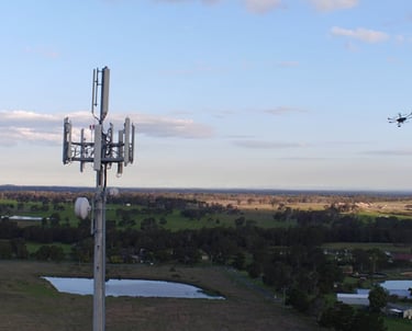
Safe Access to Challenging Sites
Whether it’s a steep slope, tall structure, or active job site, drones capture critical data safely from above—keeping your team out of harm’s way. With a drone, you can avoid a costly lift rental and possible bodily harm to your employees.
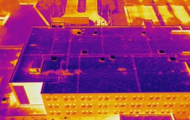
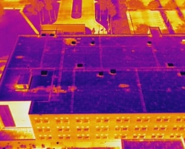
Thermal Radiometric Imaging
Thermal radiometric imaging can be used during the building process to spot utilities easily and identify areas of weakness in the construction. It provides detailed temperature data that can be used for assessments of temperature differences and hot spots, facilitating precise analysis and comparison across different areas of a roof. Using my DJI Enterprise 4T for thermal imaging allows for fast, safe, and non-invasive detection of heat-related issues such as electrical faults, insulation gaps, and equipment failures. It provides precise temperature data across large or hard-to-reach areas without the need for ladders or shutdowns. This technology improves inspection efficiency, reduces costs, and supports smarter, preventive maintenance decisions.
Safety First
I have HiVis vest, Hard Hat, PPE gear and knowledge to work around a construction site, conduct safe flight missions and not be a hazard nor a liability.
Contact me for a consultation and a custom solution tailored to your needs.
Or Leave your details, I'll give you a call:
frank@frankcaballero.com
© 2025. Drone Operator. All rights reserved.