
Elevate Your Vision with Professional Aerial Drone Services
Professional aerial photography and data solutions for construction, insurance, commercial and residential real estate—delivered with precision by a passionate, FAA Part 107-certified and insured drone pilot.
Meet our partner company: Golden State Drones Inc.
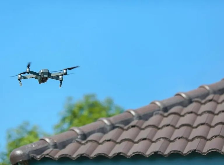
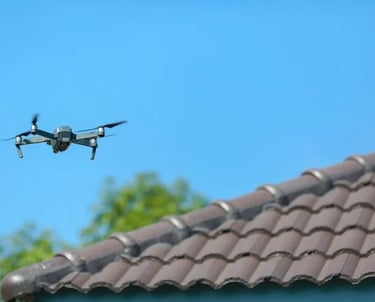
Golden State Drones Inc. brings expert aerial photography and drone services right to your doorstep, capturing, Contruction Monitoring, Thermal Readings, moments from breathtaking heights and much more.
KNOWLEDGE IS POWER
With a background in Information Technology and Project Management, I understand the critical role that workflows, processes, and data-driven metrics play in successful operations. The aerial data I deliver is designed to empower companies and stakeholders to make informed, confident decisions. I take great pride in my work—so much so that I put my name on it. I look forward to partnering with you and delivering tailored solutions to meet your aerial data and photography needs.
Get the Right Data with Zero BS!
Cutting-edge, DJI Enterprise drone technology
Capturing the data you didn't know you needed
Providing expert aerial solutions
Centimeter-accurate mapping with RTK
Distance Measurements and Volume Tracking
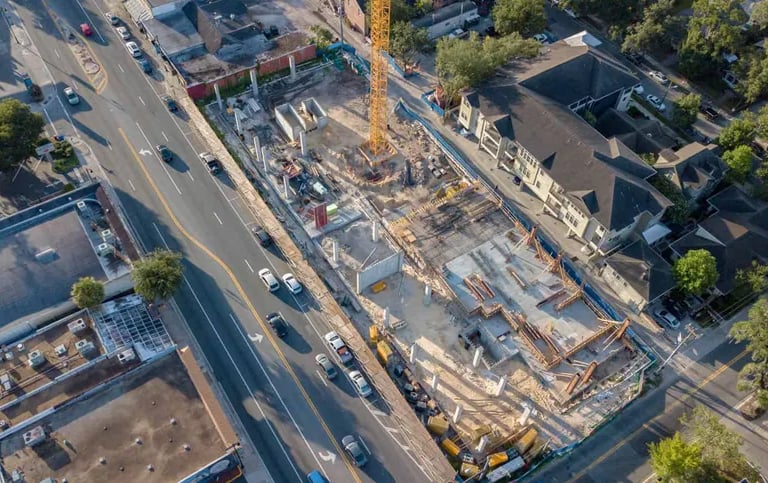
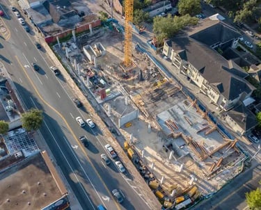
Track and measure progress. Ensure quality with precise aerial insights and updates with quick turn around time.
Comprehensive assessments for commercial and residential properties, enhancing safety and efficiency through aerial data.
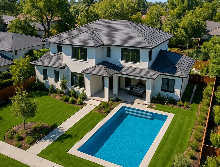
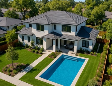
Drive more potential buyers to your listing by highlighting Luxury Homes with an aerial perspective, 360 Virtual Tours and more.
Documentation for your project
Construction
Inspections
Insurance Claims
All Factual Data, No B.S.!
Contact me for a consultation and a custom solution tailored to your needs.
Or Leave your details, I'll give you a call:
frank@frankcaballero.com
© 2025. Drone Operator. All rights reserved.